Plan

Getting here

Tybee sits eighteen miles east of downtown Savannah at the end of Highway 80 — a straight, low run across open salt marsh with two bridges and no alternative route. That last detail matters more than anything else on this page.

18 mi
from Savannah
40 min
from SAV airport
1 road
on and off
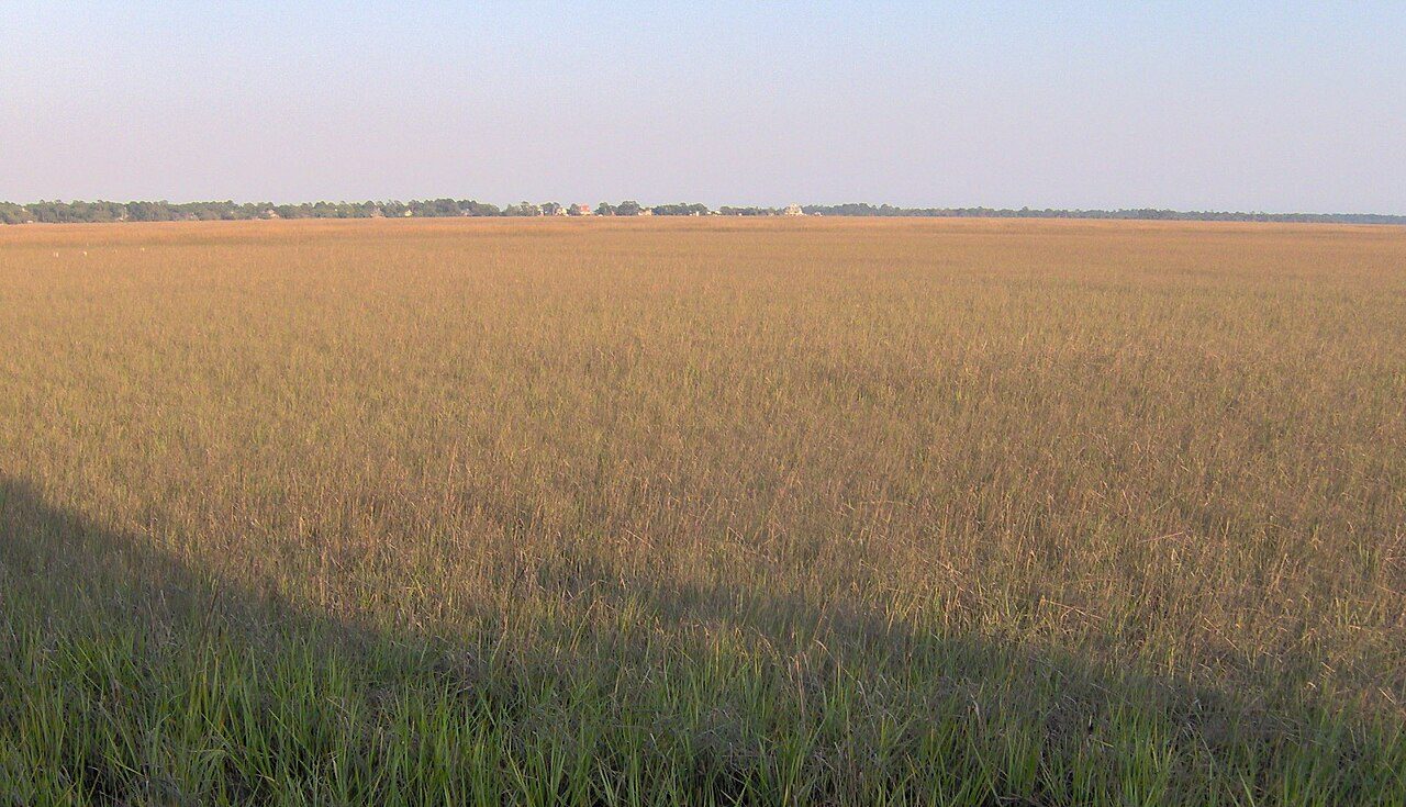
Salt marsh and tidal creek at Lazaretto Creek on the edge of Tybee Island

Driving from Savannah

Take President Street east out of downtown, follow Islands Expressway onto Highway 80, and stay on it through Wilmington and Whitemarsh islands. Twenty-five minutes with no traffic, closer to an hour on a July Saturday afternoon. The marsh views on the Lazaretto Creek bridge are the first real hint you're somewhere different.

Flying in

Savannah/Hilton Head International (SAV) is about forty minutes from the island and has direct service from most eastern hubs. Rent a car at the airport — Tybee has no rideshare depth for the return trip and taxis from town run expensive. Jacksonville and Charleston are both roughly two and a half hours by car.

The one-road problem

There is a single way on and off the island. Holiday weekends, the Beach Bum Parade and Pirate Fest all back Highway 80 up for miles, and exceptionally high king tides occasionally put water over the roadway near the marsh. Check the tide and leave a buffer if you have a flight or a dinner reservation in town.

Getting around once you're here

You can walk most of Tybee, and locals move on bikes and street-legal golf carts. The free seasonal shuttle loops Butler Avenue between the lighthouse and the pier every twenty minutes, which means you can park once for the day and forget the car until you leave.

Ready to put your toes in the Atlantic?