Island info

Tide charts

Tybee runs a big tide — six to eight feet between high and low, twice a day. On a barrier island that shallow, the tide decides what your beach day actually looks like, so check it the night before and plan around it.

6–8 ft
typical tide range
2×
highs and lows daily
~50 min
later each day
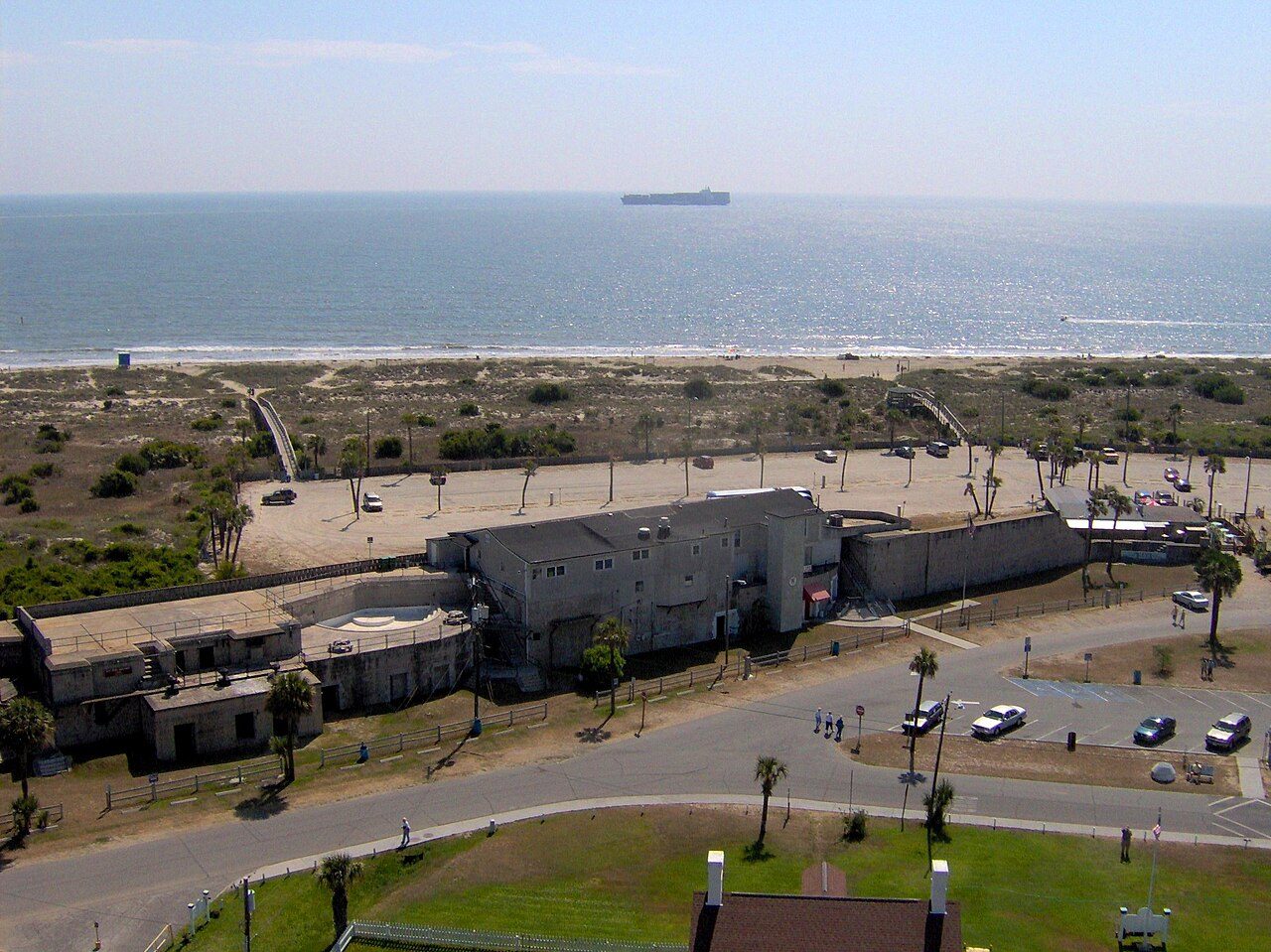
North Beach and the Savannah River shipping channel seen from the Tybee light station

Where to get the numbers

Use the NOAA Fort Pulaski station — it sits at the mouth of the Savannah River a couple of miles from the island and is the reference everyone here quotes. Times shift roughly fifty minutes later each day, so a chart printed at the start of the week is useless by Friday.

Low tide: shelling and tide pools

Two hours either side of low, the north end opens up: wide flats, warm tide pools that toddlers can sit in, sand dollars and whelk egg cases along the wrack line, and a sandbar walk toward the river. It's also the safest window for small children, since the water stays shin-deep for a long way out.

High tide: swimming and fishing

High tide brings deeper, cleaner water right up to the crossovers — better for real swimming and body-surfing, and the moving water either side of high is when the pier bites. It also shrinks the beach, so put your chairs above the wrack line or you'll be moving them.

Rips, currents and the back river

Rip currents form near the pier pilings, the rock groynes and any channel cut through a sandbar. If you're pulled out, swim parallel to shore rather than against it. Never wade or float the back-river channels on an outgoing tide — the current moves faster than you can swim, and it heads for open ocean.

Ready to put your toes in the Atlantic?